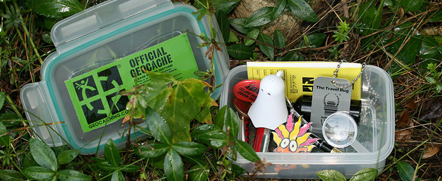
Since the days of pirates, the California gold rush, and a community park on any given Easter Sunday, treasure hunting has been a draw for the adventurous. The adventure is in the hunt as much as it is in discovering the hidden treasure. Combine that sense of adventure with GPS technology and a desire to take advantage of the great outdoors, and you have a phenomenon known as geocaching. There are over 1000 caches, varying in shape and size, located throughout Sumter County. Get in on the action-packed, low-cost fun by logging in and creating your free account at www.geocaching.com. Share your adventure and your treasure finds with us by hashtagging your social media photos with #discoversumter.
If you are new to geocaching, check out this list of best practices:
- Practice the “lift, look, replace” technique. If you lift a rock to look under it, replace it exactly as you found it.
- Use maps to find a route that will minimize impacts. Note waypoints during your journey to assist you on your return trip.
- Understand that distances can be deceiving. Know the difference between beeline distances (a straight line) versus actual distance of travel. Your app may tell you you’re a mile from a cache, but there could be streams, cliffs, sensitive areas, or obstacles in the way. It’s your responsibility to find the safest route with the smallest impact.
- Use the “track back” feature on your Global Positioning System (GPS) unit rather than flagging and marking trails.
- Keep in mind that geocaches should be hidden, not buried. Digging is unnecessary and damaging.
- If you notice a path has started to wear in the vicinity of a cache, notify the cache owner via email.
- After you’ve finished searching for a cache, the area should look as though you were never there, or better than when you arrived.
- Buddy up with two or three geocachers, reducing vulnerability if you have an accident or breakdown.


